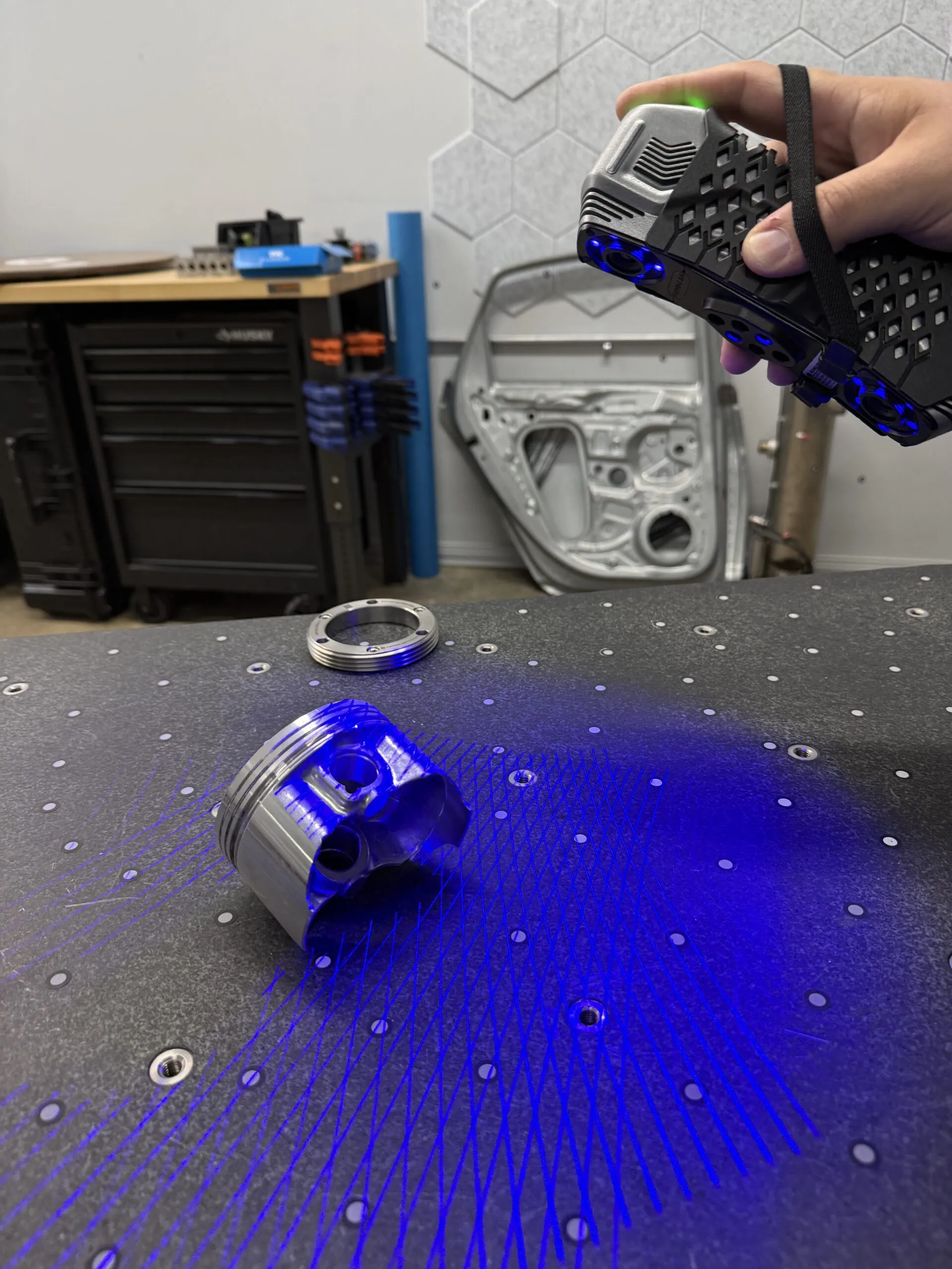
How Does 3D Scanning Work? A Beginner’s Guide to the Technology
You have a part on the bench and no drawing for it. Or you have the drawing, and now you

Digitize Designs partnered with Artec 3D to launch the brand new Artec Jet, a SLAM based LiDAR scanner built to capture entire environments at walking speed. We hosted the launch event here in Greenville, and a launch needs more than a demo table. It needs proof.
So we needed a venue that would genuinely test the scanner. A warehouse or an empty office proves nothing. We wanted scale, complexity, color, and real world conditions.
Fluor Field was the perfect answer.
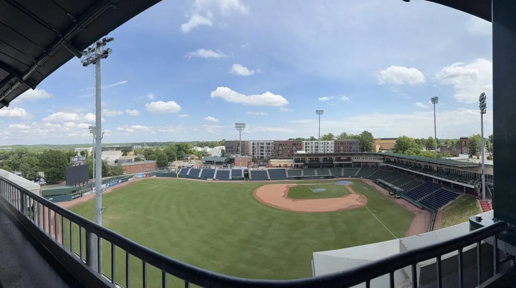
The 6,700 seat home of the Greenville Drive has anchored downtown Greenville since 2006. Built to mirror the dimensions of Fenway Park, right down to its own Green Monster, it is a landmark. It is also a working venue with a relentless schedule, a two decade history of upfits, and the same problem shared by most aging facilities: the drawings on file no longer match the building that exists.
That single site packs in everything a scanner can struggle with. Wide open outfield. A 300 meter sightline to the scoreboard. A maze of interior rooms, boxes, balconies, and concourses. Full color signage and advertising that has to be captured, not approximated. And a grounds crew that never stops moving.
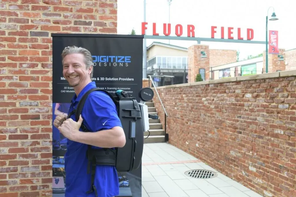
If Jet could handle Fluor Field, it could handle anything our clients would put in front of it. The stadium sat directly beside our event venue, so we walked over and put the new scanner to work in front of a live audience.
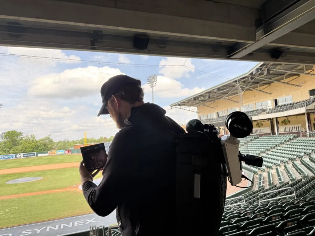
This was not a single scanner and a single operator. This was a full scale event. You can read more about the event and Artec Jet Launch here: Digitize Designs & Artec 3D Host Artec Jet LiDAR Scanner Demo in Greenville SC
Our team managed site access and stadium coordination, sequenced the capture around live grounds operations, selected the hardware stack for the conditions, and hosted an audience of visiting professionals from automotive, surveying, manufacturing, and AEC who watched the entire capture unfold in real time.
Coordination mattered, because the site did not cooperate. Fluor Field was supposed to be empty. It was not. Grounds crews were working, mowers were running, and sprinklers were cycling across the outfield. A crew without a plan loses the day to that. Our team adapted on the spot: exterior first, then the seating bowl, boxes, balconies, and the interior network of rooms, then the field, captured from a moving Gator to work with the grounds crew rather than against them.
Thirty minutes of capture. One complete stadium.
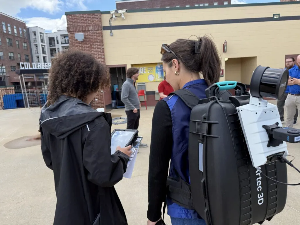
Jet was the star of the showcase, and the stadium proved the point better than any spec sheet could.
Fluor Field is what the technology looks like in the field. If you want the technology itself, we broke down the hardware in detail in a companion piece: why the Artec Jet is redefining what a LiDAR system can do. It covers the SLAM based tracking, the 300 meter range, the IP65 rating, and the mounting flexibility that made this capture possible in the first place.
“Fluor Field punishes the wrong tool. It is enormous, it was occupied, and we needed full color across 300 meters of open air and a maze of interior rooms. Artec Jet is SLAM based LiDAR you can simply walk with, and it kept tracking through motion, sprinklers, and moving equipment. Ray II earns its place the moment accuracy becomes the requirement, dropping 1.9 mm precision into the same dataset wherever a client needs it. Jet gives you the venue fast. Ray II gives you certainty where certainty is expensive.”
Patrick Paz, Director of Engineering, Digitize Designs
Raw capture is not a deliverable. Usable data is.
The Jet dataset was processed in Artec Twins, software purpose built for environments at this scale. From that single 30 minute capture, our team delivered:
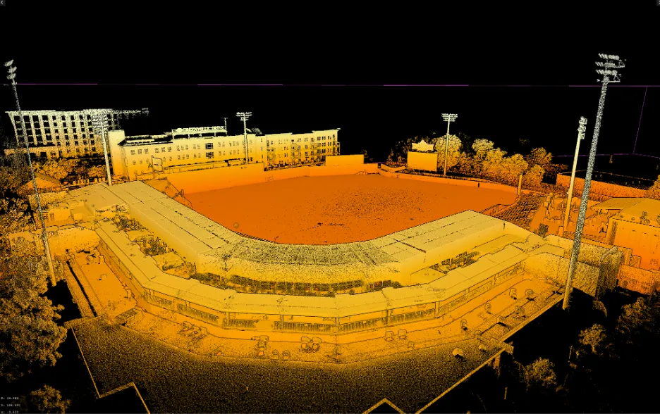
The point of a digital twin is what it prevents.
An architect expanding seating capacity can overlay proposed sections onto the point cloud and verify sightlines and structural clearances without a return visit. A contractor renovating a concourse can confirm door widths and ceiling heights before ordering material. An engineer planning a scoreboard or lighting retrofit can validate mounting points and cable runs against the structure that actually exists. A facilities team can build a health and safety plan against real geometry.
Every one of those is a manual measurement that never has to be taken, and a human error that never has to be corrected.
And because capture takes 30 minutes, none of it requires shutting down the venue. The data gets collected between games.
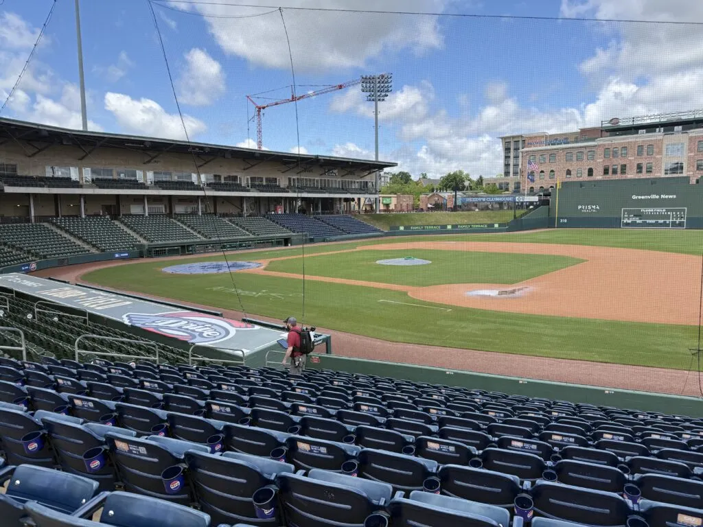
Digitize Designs delivers reality capture at any scale, from a single part to a 6,700 seat stadium. We select the right technology for the site, we plan the capture, we run the event, and we hand back data your team can build on.
If you manage a facility, a plant, a campus, or a venue where the drawings no longer match the building, let’s talk about what a scan would tell you.
Contact Digitize Designs to scope your project.
You have a part on the bench and no drawing for it. Or you have the drawing, and now you
A fender comes off the press and something is off. The hole pattern checks out on the CMM and every

For most of the twentieth century, a crime scene was preserved with a tape measure, a roll of film, and
If you have ever searched for a way to turn a physical object into a digital model, you have probably