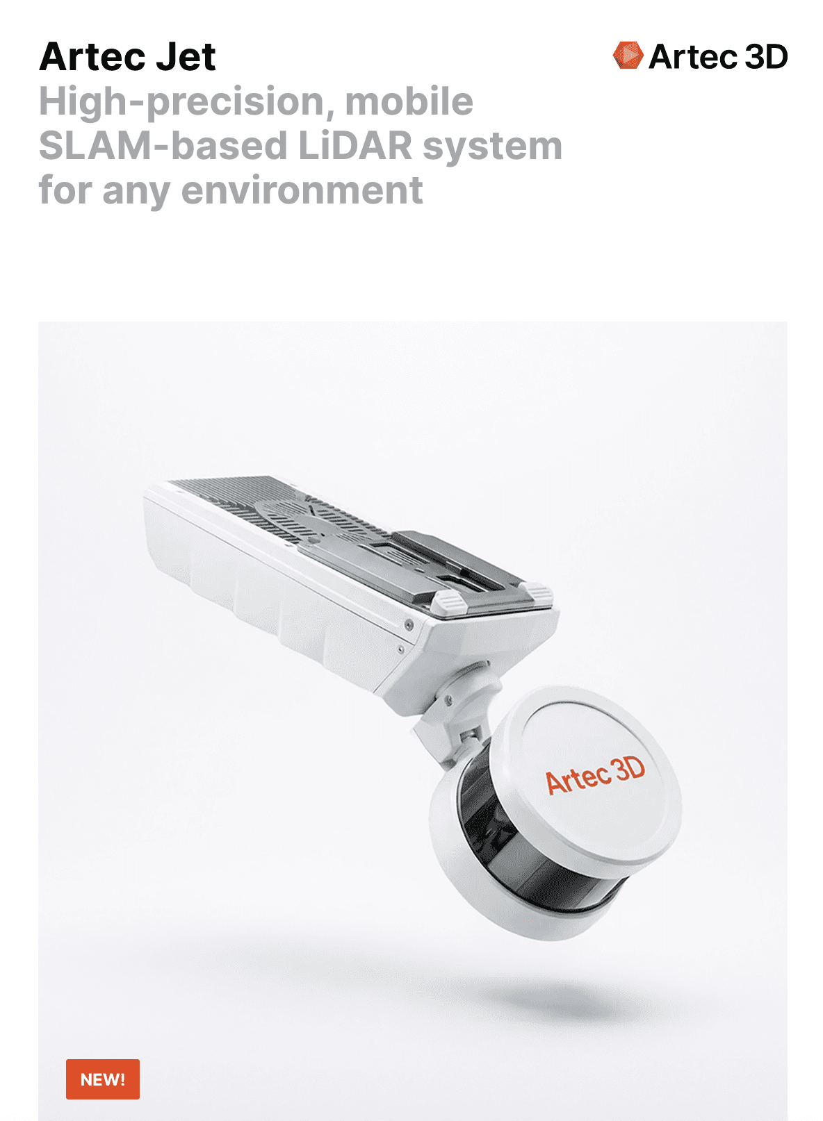
Why Choose the Artec Jet?
Mobile LiDAR systems have become essential tools across surveying, infrastructure inspection, mining, and defense — and for good reason. They deliver accurate spatial data rapidly, across environments where conventional methods fall short. Here’s why the Artec Jet is the professional’s choice:
1
Operational Flexibility at Every Scale
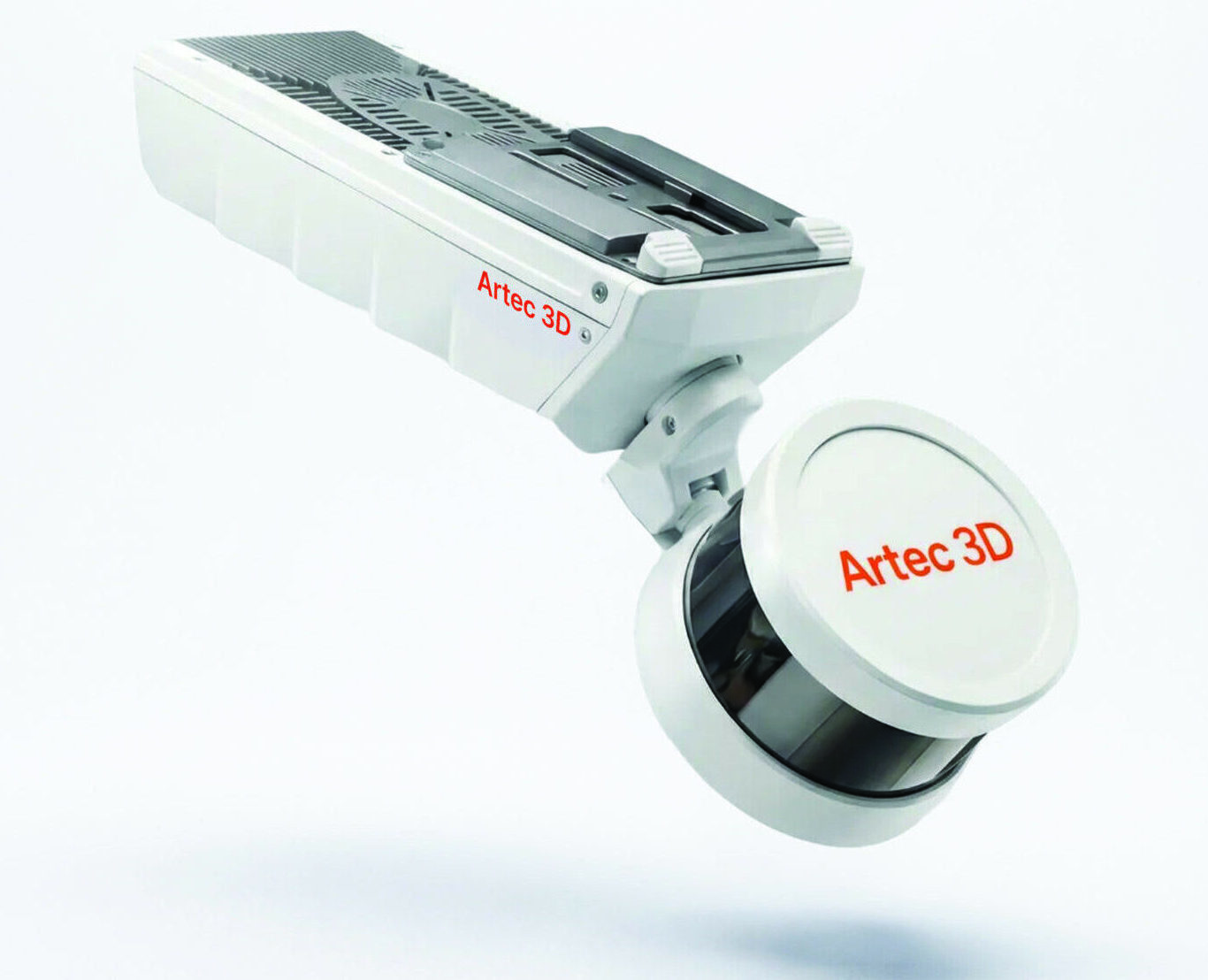
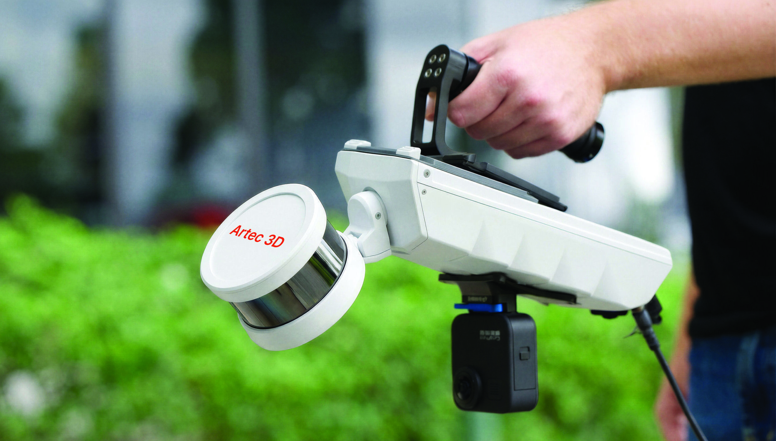
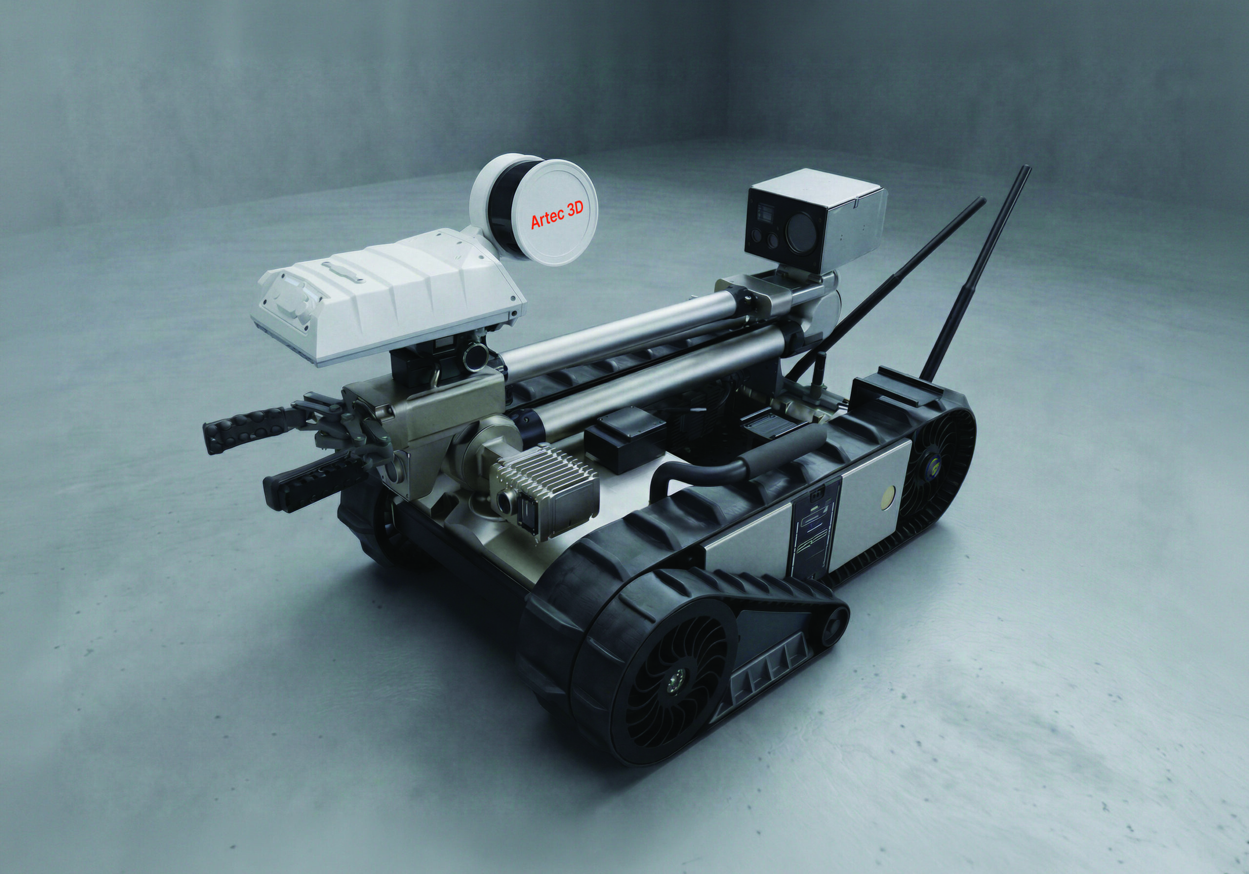
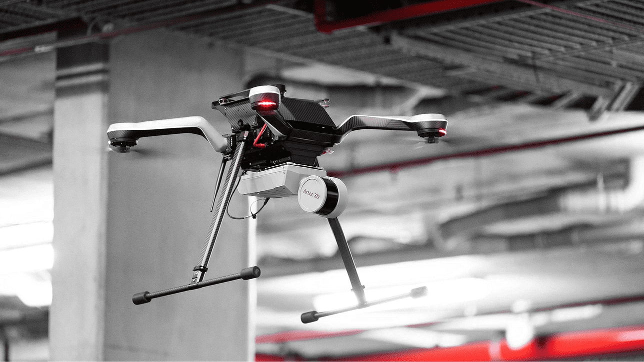
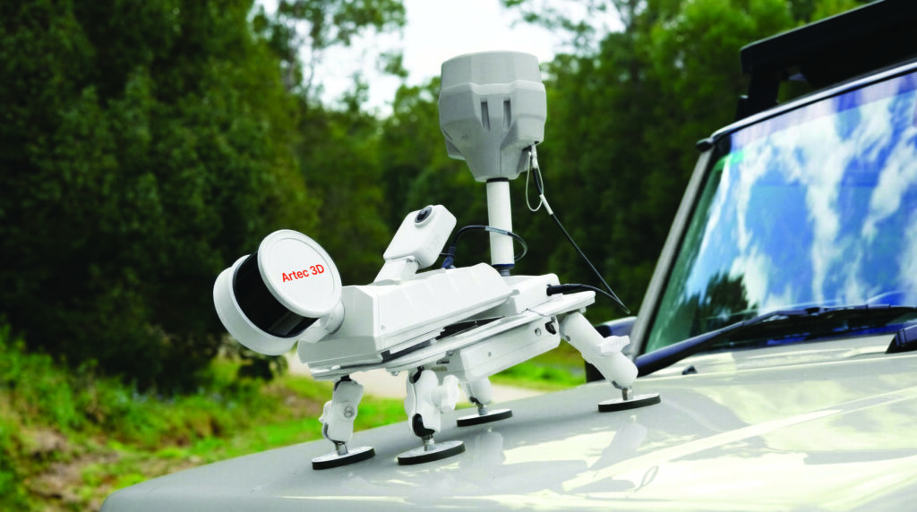
With seven deployment modes and a quick-release mechanism requiring no recalibration, the Artec Jet adapts to any mission profile in seconds. From handheld walk-throughs to fully autonomous drone flights, it captures accurate data across environments of any size, complexity, or accessibility — in a single device.
2
No Infrastructure Dependency
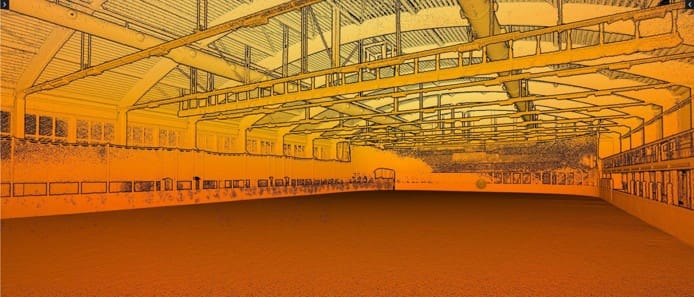
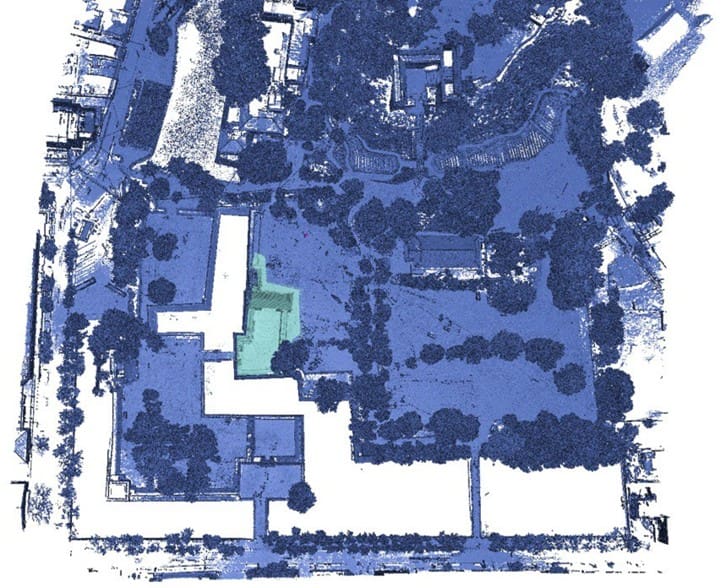
SLAM-based positioning enables continuous, accurate mapping with no reliance on GPS, targets, or external reference infrastructure. Transitions seamlessly between above-ground and GPS-denied environments in the same session, with optional RTK for georeferenced accuracy where required.
3
Part of a Complete Digitization Ecosystem
Together with Artec Ray II and Artec Leo, the Artec Jet completes a full end-to-end pipeline, from site-scale LiDAR capture to fine-detail component scanning. One workflow. One software platform. Everything from infrastructure to individual parts, captured accurately and efficiently.