Huge infrastructure projects present unique challenges that can only be addressed with advanced solutions like long-range 3D scanners. Whether it’s the construction, repair, or renovation of a highway, a railway, or a bridge, long-range 3D scanning lets you capture precise details about the infrastructure quickly and safely.
It’s important to do a cost-benefit analysis of long-range 3D scanners before purchasing one for your project to understand why it is worth the upfront costs. Here, we’ll explore the different ways you can use long-range 3D scanning technology for your infrastructure projects.
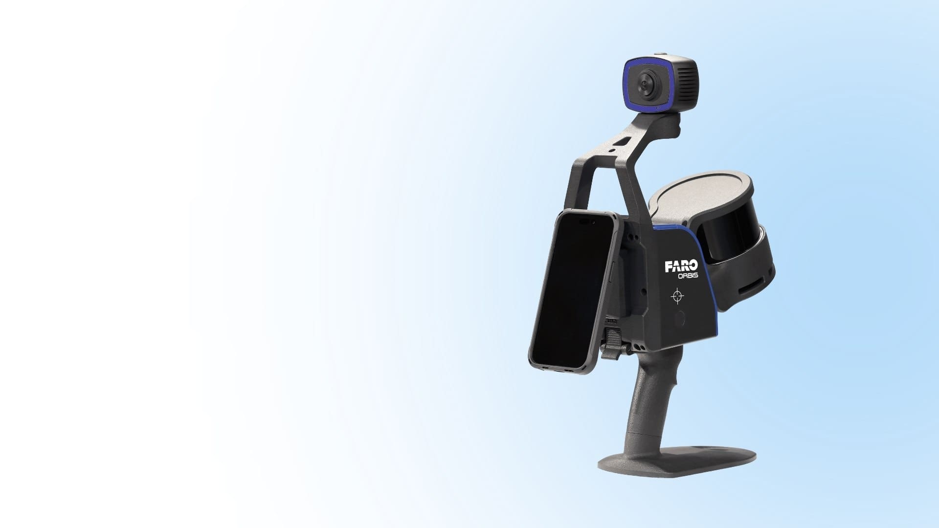
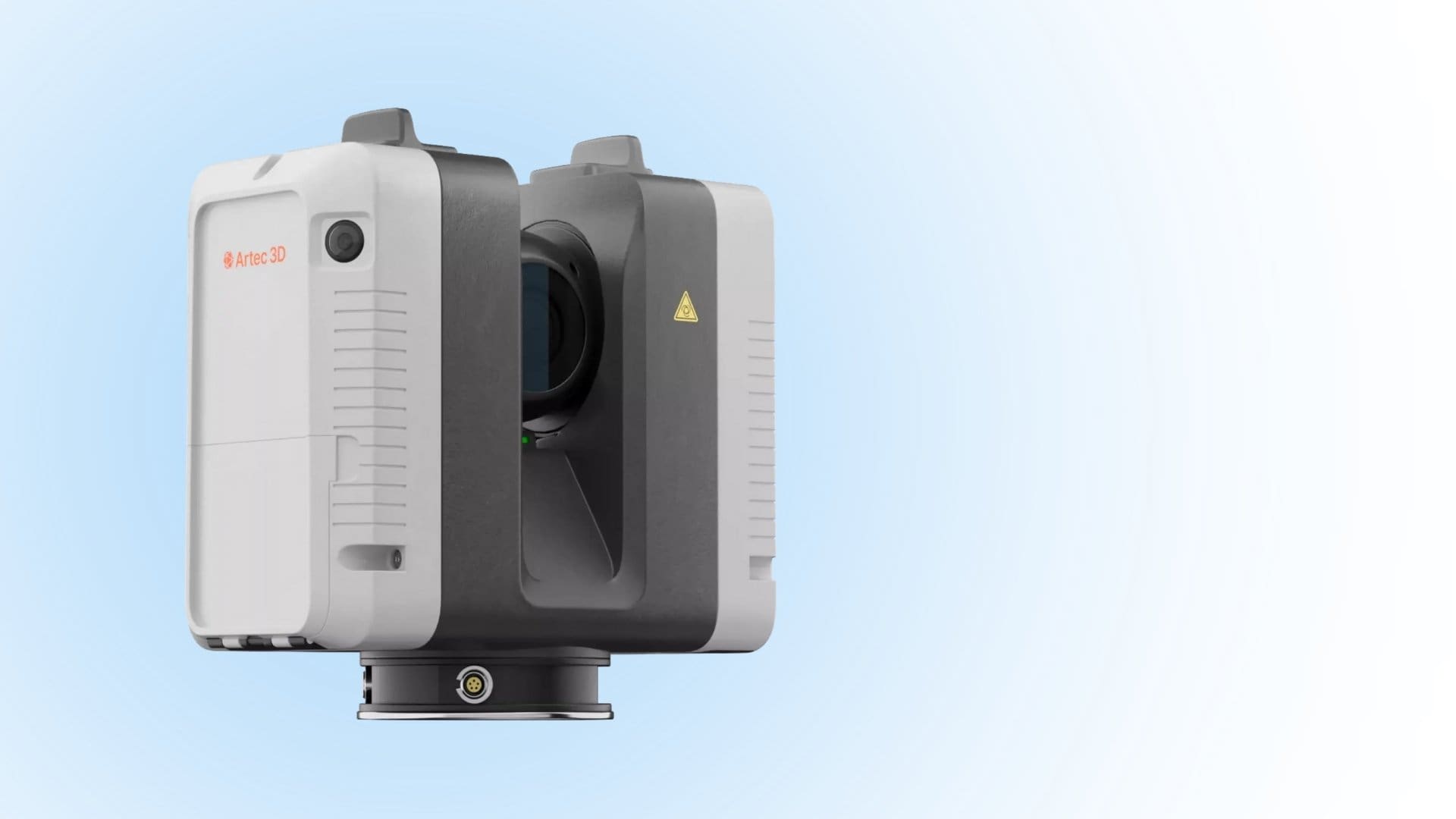
Key Aspects of Long-Distance 3D Scanning
3D scanning involves using sophisticated scanning devices to capture the outlines and dimensions of physical objects through laser or structured light technologies. Therefore, long-range 3D scanning employs 3D scanners with the capability of scanning objects over long distances.
These scanners are often used in large-scale 3D scanning projects, especially those involving outdoor applications like surveying construction sites and expansive terrains where the use of short-range 3D scanners would be practically impossible.
How to Use Long-Range 3D Scanning in Infrastructure Projects
Long-distance 3D scanning technology has revolutionized civil engineering by allowing professionals in the industry to streamline tasks and accelerate processes for better quality and faster completion of projects. Here are the common applications of long-range 3D scanning in infrastructure development:
Reverse Engineering
When constructing, repairing, or renovating an infrastructure, you need to check the original blueprint. Often, this documentation isn’t readily available, or it’s damaged. This is where long-range 3D scanning comes in handy.
It helps you capture essential data about the infrastructure and use it to reverse engineer a 3D model of the structure. This model will guide you in planning the project and including assessing the timelines, the resources needed, and the right execution procedure.
Project Survey and Monitoring
This technology is vital for the initial survey of the entire construction site, especially if you’re constructing a new structure. In most cases, it’s extremely dangerous or virtually impossible to survey an existing infrastructure using traditional tools or short-range scanners.
You need a long-range 3D scanner to periodically monitor the quality and success of the project and detect areas that need correction as you continue. In large-scale infrastructure projects, this process can involve inspecting tens of kilometers of road, railway, or bridge, which is humanly impossible with traditional surveying tools.
As-Built 3D Scanning and Modelling
As a civil engineer or architect, you’re continuously required to create digital models of physical infrastructures and construction sites. These models are necessary for creating architectural designs and blueprints, as well as for aiding in periodic inspection and upkeep of the infrastructure.
To generate accurate 3D models, you need a reliable and convenient way to capture all the critical parts of the infrastructure. Only a long-range 3D scanner can do this work professionally.
It uses advanced imaging and scanning mechanisms like laser and structured light, allowing it to collect comprehensive data about the structure and the surrounding environment. The final as-built digital representations will help assess damages, deterioration of the structure, and periodic safety inspections of the site.
Advantages of Using Long-Range 3D Scanners for Infrastructure Projects
Reliable Accuracy
Long-range 3D scanners can see clearly where your eyes or traditional surveying tools can’t. Although these conventional surveying techniques are still useful, they fail in modern civil engineering and infrastructure projects that involve complex structures.
A long-range 3D scanner can capture accurate data points over long distances quickly.
Time and Cost Effectiveness
Long-range 3D scanning technology is intended to save you the hassle of running around trying to capture data points from different positions across the construction site or visiting the site several times because your tools can’t complete the job once.
The long-distance scanning capability allows you to capture all the data you need in seconds, depending on the size and complexity of the structure. You don’t even have to invest in extra mobility devices to help you access different parts of the structure for scanning. This saves you time and money.
Turn to Digitize Designs
Long-range 3D scanning technology offers great potential for infrastructure projects, allowing professionals and investors in the industry to improve the quality of their work, accelerate processes, and save time and money.
If you need a reliable long-range 3D scanner with features and functionalities tailored to meet your project needs, check out Digitize Designs. We have the 3D scanning products to satisfy any project’s specifications!