
New Artec Jet Live Demo in Greenville, SC
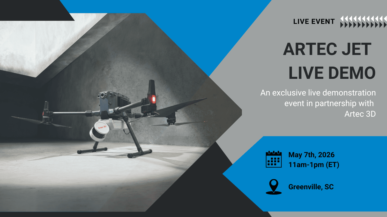
Digitize Designs and Artec 3D are bringing the future of mobile LiDAR scanning to Greenville, South Carolina. On May 7th, 2026, from 11:00 AM to 1:00 PM EST, professionals from across the surveying, construction, mining, infrastructure, and defence sectors are invited to attend a live, hands-on demonstration of the Artec Jet mobile LiDAR scanner — held at Lefty’s, Greenville, SC.
This is not a product presentation. It is a live demonstration, led by certified engineers, of a device that redefines what professionals can expect from a mobile mapping system. If your work depends on accurate spatial data — and the environments you operate in are large, complex, GPS-denied, or simply too hazardous to enter — this event is built for you.
Read the full press release, Digitize Designs & Artec 3D Host Artec Jet LiDAR Scanner Demo in Greenville SC. Space is limited. Reserve your spot today.
What Is the Artec Jet?
The Artec Jet is a high-precision, SLAM-based LiDAR scanner engineered for survey-grade accuracy across any environment, at any scale. It is the latest and most capable addition to the Artec 3D scanning ecosystem — and it represents a fundamental shift in what a single mobile device can do.
Where conventional scanners depend on GPS, external reference infrastructure, or controlled conditions, the Artec Jet operates without any of them. Its SLAM-based positioning engine — Simultaneous Localisation and Mapping — builds an accurate, continuously updated map of any environment in real time, maintaining a ±0.03% drift rate and delivering mapping accuracy of ±10 mm in typical indoor and underground conditions.
A 300 m sensing range. A 360° × 290° field of view. Up to 1,920,000 points captured per second. These are not incremental improvements — they are the specifications of a device built to operate where others cannot.
Built for the Environments That Challenge Every Other Scanner
The defining capability of the Artec Jet is its ability to deliver reliable, survey-grade LiDAR data in GPS-denied environments. Underground mines, road tunnels, enclosed industrial facilities, vertical shafts, and dense urban infrastructure — these are the environments where conventional mobile mapping systems reach their limits. The Artec Jet is engineered specifically for them.
GPS-denied mapping has traditionally required significant compromise — on accuracy, on speed, or on the complexity of the equipment and workflows involved. The Artec Jet removes that compromise entirely. SLAM-based LiDAR replaces the need for satellite positioning with an onboard intelligence that understands and maps its environment continuously — delivering the same ±10 mm mapping accuracy underground as it does above ground.
For missions that span both environments, optional RTK accessories add GNSS-assisted georeferencing above ground — enabling a single scanning session to transition seamlessly from an open-air site into a GPS-denied zone without interruption, without recalibration, and without loss of accuracy.
Seven Deployment Modes. One Device.
What sets the Artec Jet apart from any other mobile LiDAR scanner is the breadth of its operational flexibility. Seven distinct deployment modes — handheld, backpack, drone, vehicle mount, ground robot, telescopic pole, and cage — are all supported by a single device, switchable in seconds via a quick-release mechanism that requires no recalibration between modes.
Walk a facility handheld. Mount to a backpack for longer surveys. Lower into a vertical shaft in a protective cage. Attach to a Boston Dynamics Spot to map confined or hazardous spaces without putting personnel at risk. Mount to a vehicle and capture roads, tunnels, and linear assets at driving speed. Or deploy by drone — and let the Artec Jet’s AI autonomy engine take over entirely.
Autonomous drone LiDAR mapping is one of the Artec Jet’s most significant capabilities. Its AI autonomy engine supports non-GPS position hold, guided exploration, global path planning, and fully autonomous waypoint navigation. Omnidirectional collision avoidance detects obstacles as small as 2 mm wire across a full 360° × 360° field at ranges of 1.2 to 40 m — keeping equipment protected in the tightest confined airspace. A return-to-base failsafe ensures the drone navigates safely home if conditions change. No equipment is ever lost. No data is ever left behind.
This is autonomous drone LiDAR mapping operating at a level of intelligence and safety that makes previously inaccessible environments routinely capturable.
Confidence Before You Leave the Site
Every scan the Artec Jet captures is streamed in real time to a companion app, giving operators a live point cloud preview during data collection. Coverage gaps, missed areas, and data quality issues are identified on-site — before the team leaves — eliminating the cost and disruption of return visits.
Combined with optional true-colour RGB capture from a supported camera, the Artec Jet produces vivid, photorealistic point clouds with immediately recognisable features — delivering data that is not only accurate, but immediately interpretable by every stakeholder in the project.
Output formats include .las, .laz, .ply, and .e57 — the industry-standard formats compatible with the leading survey, BIM, inspection, and digital twin software platforms.
Part of a Complete Digitization Ecosystem
The Artec Jet does not operate in isolation. It is the large-scale site capture solution within the Artec 3D scanning ecosystem — designed to work in combination with the Artec Ray II for large-object and structural detail, and the Artec Leo for component-level handheld scanning.
Together, these three devices deliver a complete, end-to-end digitization pipeline. From entire sites and infrastructure networks — captured by the Artec Jet — down to the precise geometry of individual components — captured by the Leo or Ray II — everything is processed within a single integrated software environment. One ecosystem. One workflow. Complete digital coverage from site to component.
Join Us at Lefty’s — May 7th, 2026
This event is an opportunity to see the Artec Jet mobile LiDAR scanner demonstrated live, ask questions directly to certified engineers, and assess exactly how its SLAM-based LiDAR, GPS-denied mapping capability, and seven deployment modes can work within your specific operational environment.
📅 Date: May 7th, 2026 🕙 Time: 11:00 AM – 1:00 PM EST 📍 Location: Lefty’s, Greenville, SC
Attendance is limited. This is a focused, professional event — designed for those who need to make informed decisions about mobile mapping systems and are ready to see the technology firsthand.
Register Here